How to Read a Florida Property Survey Before Fence Installation (Pins, Bearings, Easements, and Why Measurements Go Wrong)
A fence looks simple until you're staring at a Florida property survey that feels like a math test. Lines, angles, abbreviations, and tiny notes can make even a straight fence line feel uncertain.
Still, you don't need to be a surveyor to spot the big deal items before posts go in. If you can find the corners, understand bearings, and notice easements, you'll avoid most "why is the fence over there?" problems.
This guide explains what to look for, why tape-measure layouts often drift, and when it's time to call a Florida-licensed professional surveyor (especially if corners are missing or neighbors disagree).
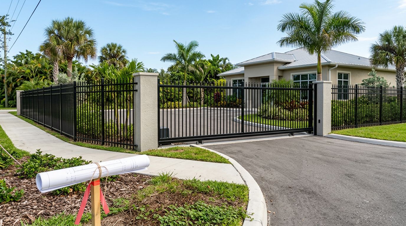
Start at the title block, north arrow, scale, and legend (the survey's "instructions")
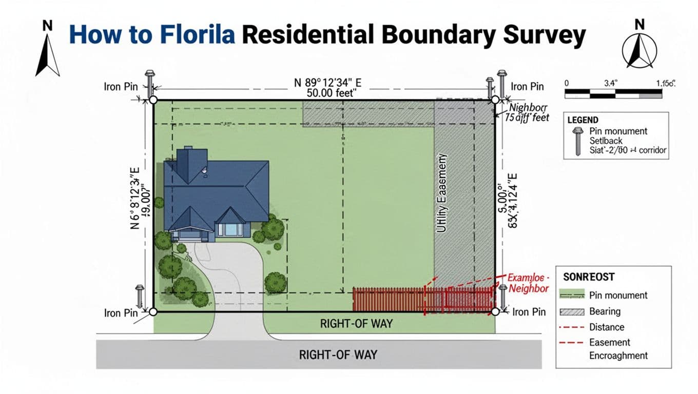 An at-a-glance diagram of common survey features you'll use to plan a fence, created with AI.
Before you read any boundary callouts, look for the "setup" items. They tell you how to interpret everything else.
Start with the title block . It usually shows the survey date, property address or parcel info, and the surveyor's name and license. That date matters because lots change. A new driveway, a pool, grading, or a neighbor's fence can appear after an older survey.
Next, find the north arrow and scale . North tells you how the page is oriented, and the scale tells you whether distances are drawn to fit a sheet, not to be measured with a ruler. If the scale says 1" = 20', you still shouldn't "scale" your fence line off the paper for layout. Use the written distances.
Then check the legend and line styles. Surveys often use:
- Bold lines for boundary
- Dashed lines for setbacks or building lines
- Shaded bands for easements
- Symbols for monuments (pins, irons, nails, pipes)
Finally, look for references to a plat or recorded subdivision map. A plat is like the neighborhood's official "lot recipe." If you want background on how Florida sets expectations for survey content, skim the state's minimum technical standards for surveys.
If you only do one thing, confirm the survey is readable, recent, and clearly shows the boundary with bearings and distances.
Find the property corners first: pins, monuments, and what "found" vs "set" means
Fence layouts usually succeed or fail at the corners. Corners are marked by monuments , often an iron pin (rebar), iron pipe, nail and disk, or a capped rebar with a surveyor's ID.
On the drawing, corners may be labeled "IP" (iron pipe), "IR" (iron rod), "RB" (rebar), or "PK" (nail). You might also see notes like:
- FOUND : the surveyor located an existing monument.
- SET : the surveyor installed a new monument (often on a resurvey).
In the yard, pins can be buried, covered by sod, tucked under mulch, or hidden by a concrete edge. They also get disturbed. Landscaping crews, irrigation work, and driveway replacements can knock out corner evidence.
Two practical cautions before you start hunting:
- Don't dig aggressively near likely utility paths. Call 811 for utility locates before digging any post holes.
- Don't assume a neighbor's existing fence is on the line. Many fences are built inside the lot, or they drift over time.
If your corners aren't obvious, look for tie measurements on the survey (short distances from a corner to a sidewalk corner, a building corner, or another monument). Those ties help a surveyor re-establish corners, but they're not a great DIY substitute when accuracy matters.
For boundary dispute situations, Florida also sets standards for what boundary surveys must address. Here's the state rule on boundary survey standards of practice.
Read bearings and distances like directions, not like a ruler measurement
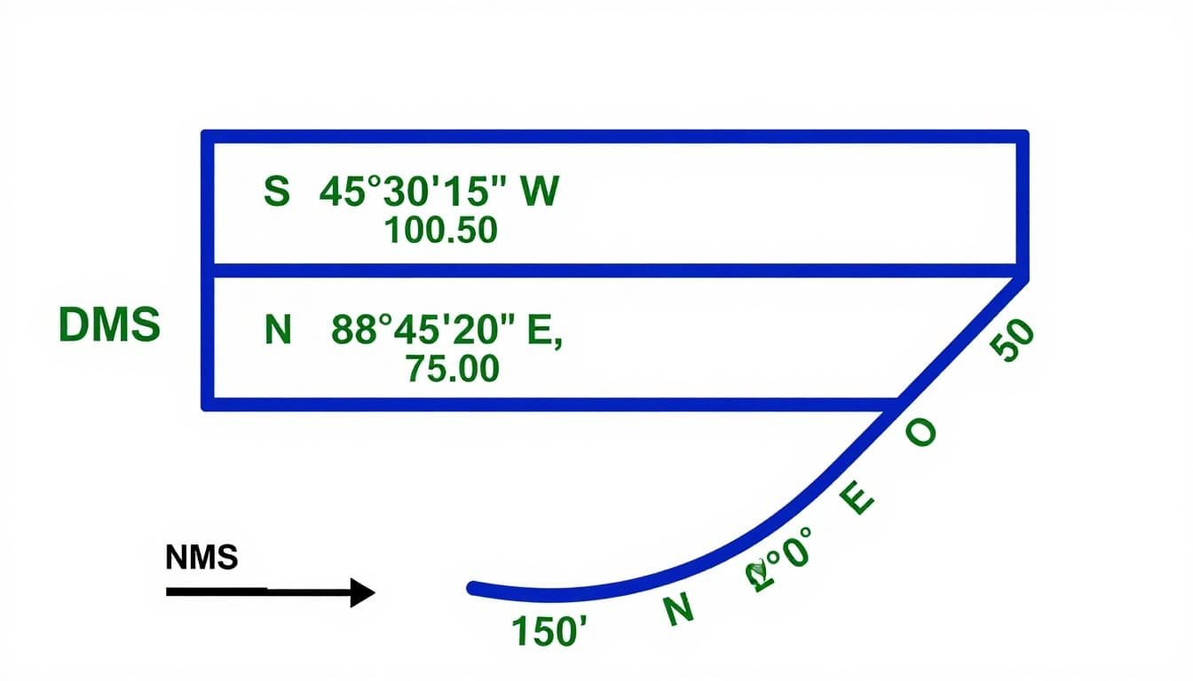 Common bearing formats you may see along boundary lines, created with AI.
A survey boundary line is usually described by bearing plus distance . Think of it like giving someone driving directions: first the direction, then how far.
Most residential surveys use quadrant bearings that look like this:
- N 89°12'34" E, 50.00'
- S 45°30'15" W, 100.50'
That format means: start at north or south, rotate by an angle, then head toward east or west.
Quick bearing examples (plain English)
Here are common notations and what they mean:
| Survey notation | How to say it | What it means in plain English |
|---|---|---|
| N 10°00'00" E | "North 10 degrees east" | Mostly north, slightly toward east |
| S 45°30'15" W | "South 45 degrees west" | Diagonal toward the southwest |
| N 89°12'34" E | "North 89 degrees east" | Almost due east, just a hair north |
You'll also see DMS for angles: degrees (°), minutes ('), seconds ("). Small angle differences can move a corner more than you'd expect over a long run.
One more gotcha: surveys may reference different "north" bases (grid north, true north, or sometimes a stated basis on the drawing). A phone compass won't match reliably, especially near metal, vehicles, or power lines.
If your lot includes a cul-de-sac or curved frontage, look for curve data (radius, arc length, chord bearing, chord distance). Measuring a curve like it's a straight line is a common reason fence lines end up off.
For a simple overview of legal description styles that show up on surveys (like metes and bounds), see this Florida legal description lesson.
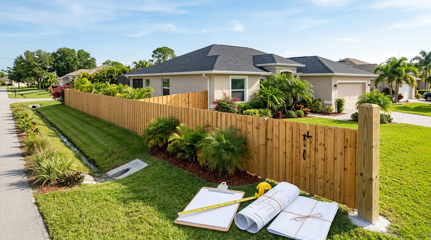
Easements, ROW, encroachments, and why fence measurements go wrong (plus a "new survey?" guide)
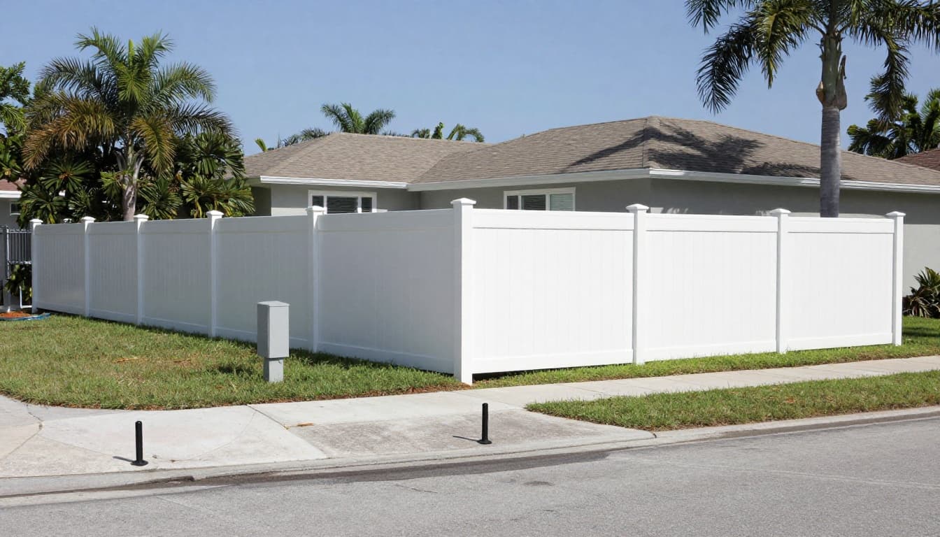 A fence aligned to surveyed corners while keeping clear of a marked easement area, created with AI.
Most fence headaches in Southwest Florida happen in the "extra lines" area. Three labels matter most:
- ROW (Right-of-Way) : land reserved for public use, usually along the street. Your property line may start behind the sidewalk, not at the curb.
- Easement : a right for others (often utilities or drainage) to use part of your land for a specific purpose. An easement doesn't usually change ownership, but it can limit what you should build there.
- Setback/building line : a restriction on where structures can go. Some fences must meet setbacks too, depending on local rules and permit plans.
Surveys may also show an encroachment , meaning something crosses a boundary or easement area, like a neighbor's fence, a shed corner, or a driveway edge.
So why do measurements go wrong even when people "measure carefully"?
- They measure from a wall or sidewalk that isn't a boundary reference.
- They pull a straight tape across what should be an angled bearing line.
- They miss a curve and treat it like a chord.
- They assume pins are where they "should be," not where they are.
- They lay out a fence line without accounting for offsets (post faces, panel thickness, gate hardware clearances).
Do I need a new survey before fence installation?
Use this as a quick reality check:
| Situation | Risk level | Smart next step |
|---|---|---|
| Survey is recent and corners are clearly marked on the ground | Low | Build from monuments and written calls |
| Survey is older, but pins are visible and match the drawing | Medium | Confirm easements and re-check corners |
| Pins are missing, covered, or inconsistent | High | Hire a Florida-licensed surveyor to locate corners |
| Neighbor disputes the line, or a fence/driveway looks over the line | Very high | Pause, get a professional boundary opinion |
If your fence is part of a pool barrier, remember that placement and gates can also affect permitting and inspection outcomes. This guide to Cape Coral pool fence rules 2026 explains the measurements inspectors focus on.
Quick glossary of survey terms (fence-focused)
- Monument : the physical marker used to define a corner or line.
- Plat : the recorded subdivision map that defines lots, streets, and easements.
- Bearing : the direction of a line, written in quadrant format.
- DMS : degrees, minutes, seconds, the standard angle format on many surveys.
- Curve data : information describing a curved boundary (radius, arc, chord).
- ROW : right-of-way, typically along streets.
- Easement : a limited right to use a portion of land (utilities, drainage, access).
- Encroachment : an improvement that crosses a boundary or easement line.
Conclusion
A Florida property survey is your fence plan's foundation, not just paperwork. First, confirm the survey basics, then locate corners, then follow bearings and distances, and finally double-check easements and ROW notes. When corners are missing or the line is disputed, bring in a Florida-licensed professional surveyor, because guessing gets expensive fast. If you're ready to plan a fence layout with fewer surprises, start with local help through fence installation services Cape Coral, and keep the survey handy for the quote and final layout.