Plat Map vs Survey: What Each One Tells You
A plat map can look official, but it can still miss the detail that matters most. If you're buying land, planning a fence, or checking a setback, that difference can save you a lot of trouble.
A plat map shows recorded lot information. A survey measures what is on the ground today. For property owners, those are not the same thing, and that gap matters fast.
What a plat map shows
A plat map is a recorded drawing of a subdivision or parcel. It usually shows lot lines, lot numbers, dimensions, street names, and sometimes easements.
That makes it useful for getting a broad picture of a property. You can often see where a lot starts and ends on paper. You can also spot things like drainage easements or utility corridors if they are shown on the recorded plat.
What it does not show is just as important. A plat map does not confirm where the fence line sits today. It does not locate corner pins in the field. It does not tell you whether a neighbor built over the line, or whether the markers have moved.
A plat map is a record of the lot on paper. It is not a fresh measurement of the land.
For that reason, a plat map is a starting point, not the final word.
How a survey differs
A survey is a job done by a licensed surveyor. The surveyor goes to the property, measures the land, and checks boundary markers and visible conditions.
That process gives you a current picture of the site. It can show where the boundary lines are believed to be based on field work and records. It may also show improvements, encroachments, easements, setbacks, and other details tied to the land.
This is where the plat map vs survey question becomes clear. One is a recorded map. The other is a professional field measurement.
| Feature | Plat Map | Survey |
|---|---|---|
| Source | Recorded subdivision or parcel record | Field work by a licensed surveyor |
| Main purpose | Shows the lot layout on paper | Shows property conditions on the ground |
| Boundary detail | General lot lines and dimensions | Current boundary evidence and measurements |
| Best use | Basic reference and planning | Fences, sales, permits, and disputes |
The takeaway is simple. A plat map can help you understand the lot. A survey helps you act on it with confidence.
When a plat map is useful, and when it falls short
A plat map has real value. It can help you review a property before a closing. It can help you understand a subdivision layout. It can also help you see whether an easement is recorded near the area you want to use.
It is often enough when you only need a rough reference. For example, if you're comparing lots or checking how a subdivision was laid out, a plat map is helpful.
It falls short when the exact line matters. A fence, a shed, a driveway, or a wall can all create problems if they cross the wrong area. Even a small mismatch can turn into a neighbor dispute later.
Use a plat map for general reference. Use a survey when the decision affects where something gets built.
A few situations call for a survey right away:
- You want to place a fence close to the property line.
- You see old fence posts or markers that do not match the paper map.
- You are buying a property and want a clearer boundary picture.
- You have a possible encroachment or neighbor concern.
- You need documentation for a permit, title issue, or lot split.
If the project changes the land, a plat map alone is too thin.
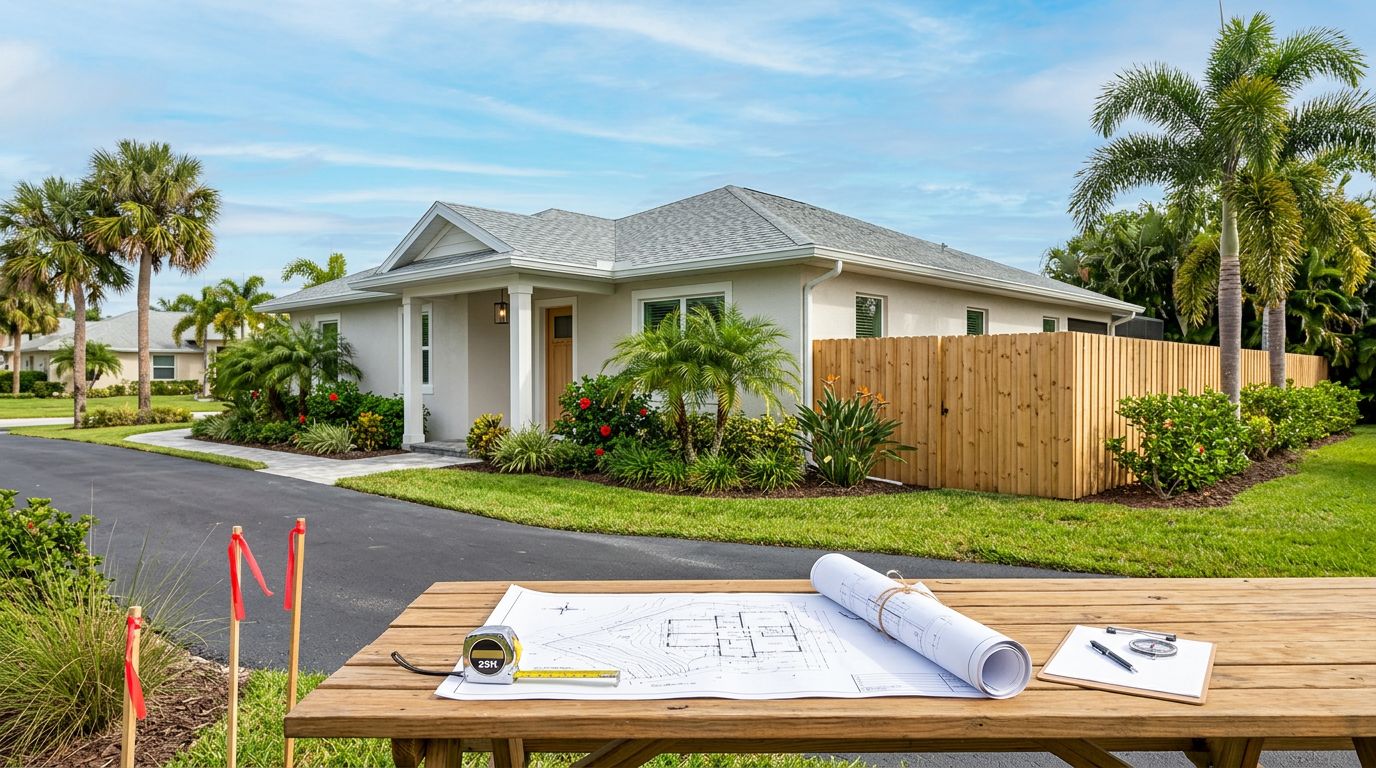
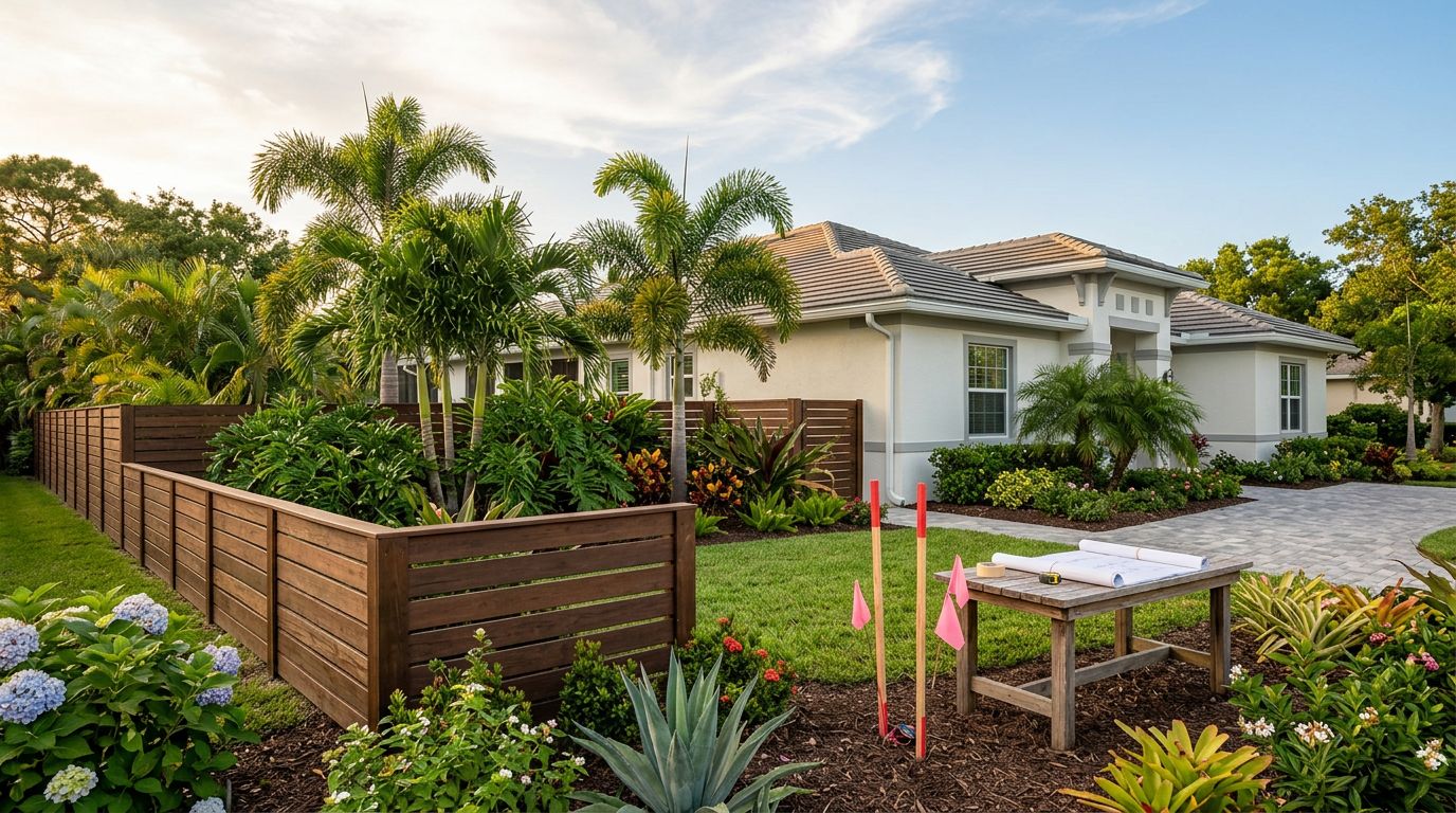
Why fence projects need the right boundary information
Fence work depends on clear lines. If a fence goes in the wrong spot, the mistake can be expensive to fix. Posts may need to come out. Panels may need to move. A neighbor may complain after the work is already finished.
That is why fence planning should start with property records and, when needed, a survey. A plat map can show the shape of the parcel. A survey can show where the fence should actually go.
This matters even more when easements or setbacks are involved. A recorded map might show a utility strip or drainage area, but it will not tell you how that area affects your exact fence layout. That part needs a closer look.
If you're planning a new fence, professional fence installation services make more sense after the boundary is confirmed. That way, layout, gate placement, and setback choices start with the right information.
When to contact a licensed surveyor
A licensed surveyor is the right call when you need more than a paper record. If the boundary affects a purchase, a permit, a fence, or a dispute, don't guess.
Contact a surveyor when:
- the line is unclear,
- a neighbor's structure appears close to your property,
- a fence will run near the edge of the lot,
- the deed and the plat map do not seem to match,
- or you need proof for a lender, title company, or local office.
That step can save time later. It can also prevent costly corrections after the project starts.
Conclusion
A plat map gives you a recorded picture of a property. A survey gives you a current, field-checked view of what is actually there. Those two tools work together, but they do different jobs.
For simple reference, a plat map may be enough. For fences, purchases, or boundary questions, a licensed surveyor is the safer move.
When the line matters, use the tool that fits the job. A plat map can point you in the right direction, but a survey is what helps you build with confidence.